The Northeast Ridge is one of the harder standard routes to gain a 14er summit in Colorado. The name is a little misleading because it only follows the ridge at the top, then descends a gulley/face to the south of the ridge and then exits crossing where the ridge fans out into 3 or 4 smaller ridges. In this exceptional late season snow year, starting out we were post holing up to our thighs. With the trail mostly covered in snow, route finding became an issue. We used every tool in our arsenal, maps, beta printouts, gps way points and compass bearings. We managed to stay on route most of the descent only getting off route by choice which ended up costing us extra time.
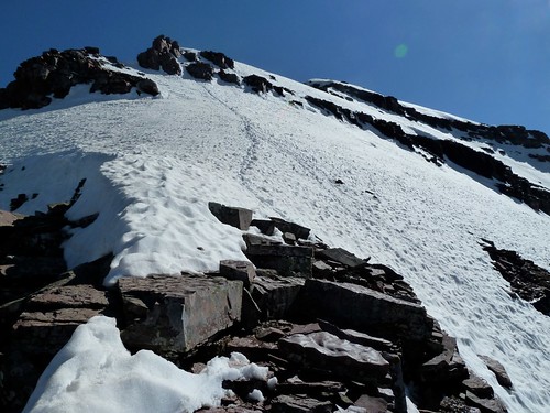
The top of the ridge rolls over in such a way you cannot see the ridge line below, with some trepidation we set off.
Once we got going things didn't look so bad and it felt like we were moving at a good pace.
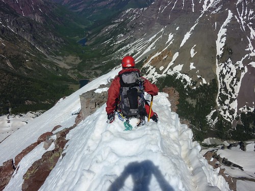
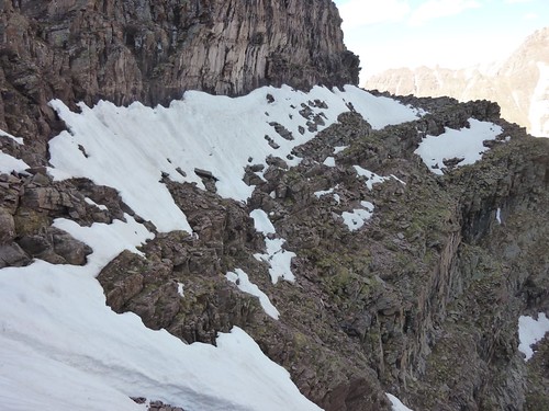
There were a couple of interesting sections of the ridge.
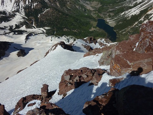
It eased up again until cliffing out at the rock formation below, that is where you leave the ridge to the east face/gulley.
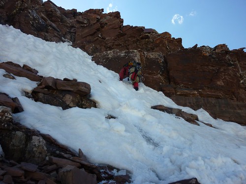
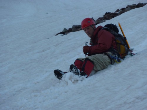
After scrambling down a ledgy cliff, we encountered more snow. John chose to turn around and kick steps, I preferred to faced out and plunge my feet. Notice the ice under the snow at the bottom of the photo.
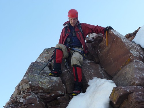
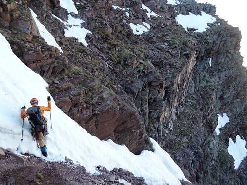
The rock scrambling on this trip was relentless, we have been at this for about 13 hours at this point. John's was experiencing some swelling in his knee but he worked through the discomfort in excellent style.
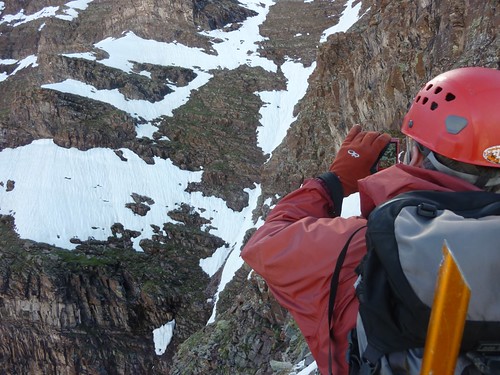
John looking back taking a photo of the lower part of the gulley/east face.
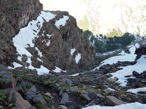
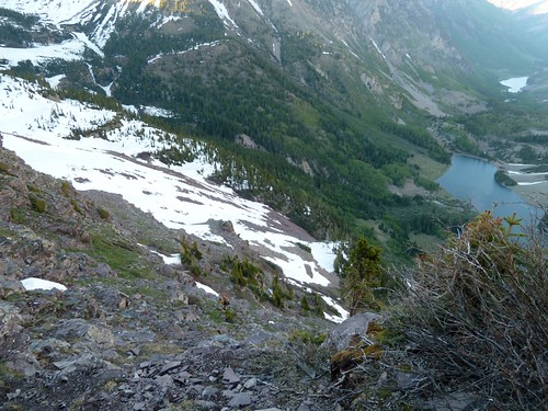
Down low on the gulley/east face we were picking up faint signs of the trail. The exit onto the ridge "fan" is the rocky ridge to the left. The trail is on the lower edge of that snow field, mostly covered.
Here I am picking a path below the snow covered trail above. Again it looks difficult but it went really well.
Route crossing the ridge "fan".
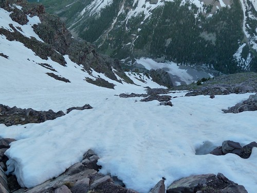
Looking down from the traverse at some steep snow fields
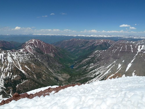
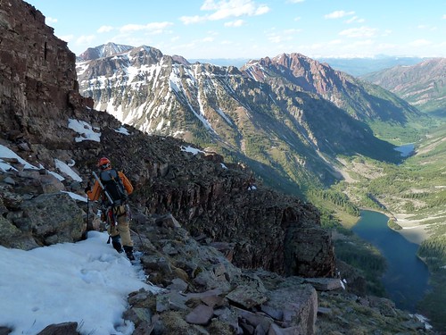
Although tired, I was actually feeling pretty good, we were moving fairly fast to this point, descending and gaining richer air, plus it was beautiful and I could see the end in site. Maroon lake down valley is where the car is parked.
If you look in our gps track in the Google Earth image, this is where our dark red track gets off course from the red track where we supposed to be, we knew the way out was a traverse but there was an enormous snow field to cross, we thought we could find a dryer alternative.
At the bottom of the snow field we did some glissading to save walking. This is the stair step pattern in our gps track which committed us to a more difficult end to our day.
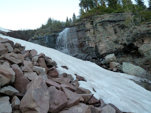
This was our last picture of consequence, we were not in the picture taking mood at this point. We were cliffed out, we had to escape below this waterfall. We spent several more hours skirting a cliff band you can see in our gps track. We were bush wacking through willows and dense pines as dark was starting to arrive. I became very impatient at this point. When we arrived at the car, we had long since run out of water, we had dry and sore throats, dry cracked lips, my boot gaiters had fallen around my ankles and my clothes were covered with pine tar. Regrettably we didn't take any photos, we just wanted out of there.
No comments:
Post a Comment